Britain is set to receive one last taste of summer as a “rollercoaster of temperatures” will throw a 22C blast into the mix.
Despite being noticeably colder in the last few days, reaching chilly single digits on Thursday morning, the south today will see above-average temperatures.
The mercury will take a dip once again this weekend, but Britons won’t have to wait long for another warm spell, as the UK is set to heat up again early next week.
Northern regions won’t see such wild temperature swings and it should remain close to or slightly above average.
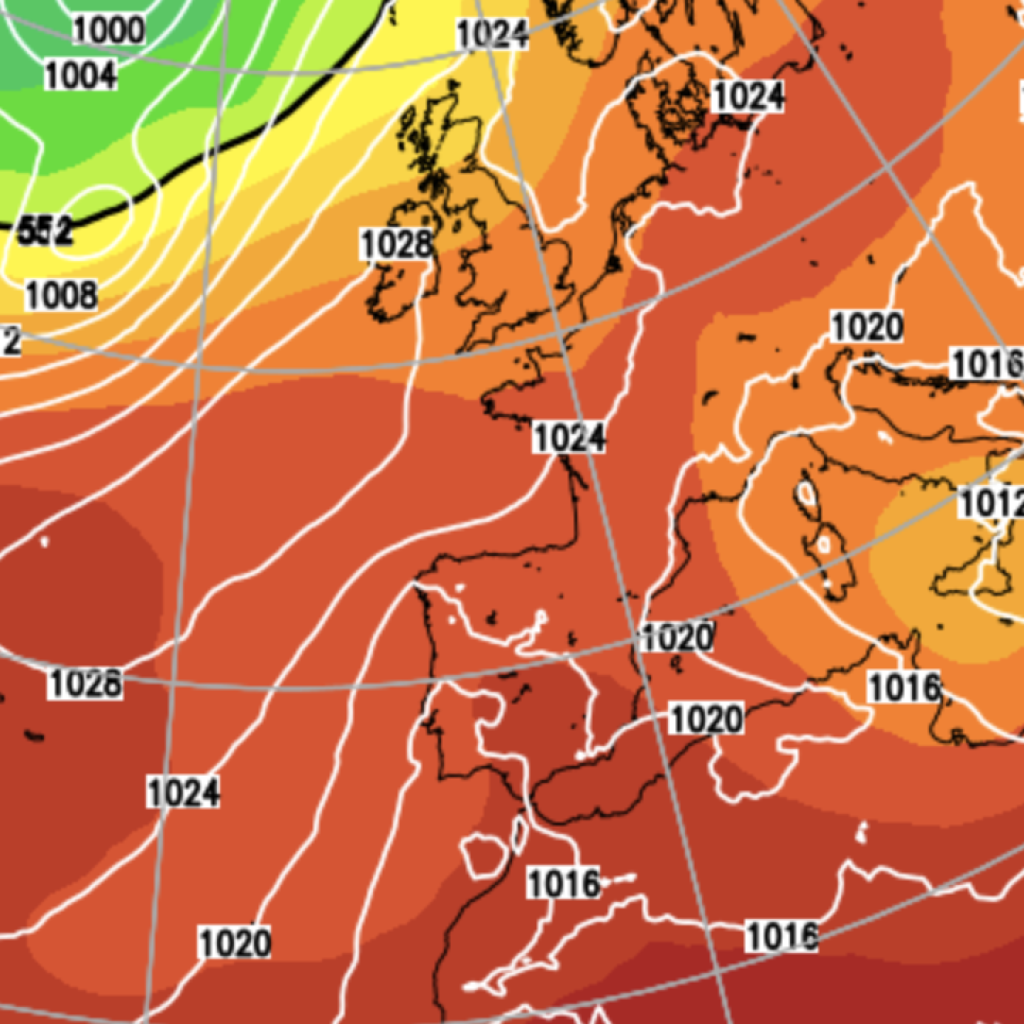
In a blog for NetWeather, Senior Forecaster Nick Finnis writes: “Southern parts of the UK will see a rollercoaster of temperatures over the coming days, a little below average today, back to slightly above as temperatures reach the high teens for a time in the south tomorrow, following a warm front moving through overnight, before temperatures fall slightly below average this weekend.
“But warming up again early next week, a few models forecast 22C in eastern England on Tuesday, just when we thought we’d seen the back of summer temperatures!
“For the north of the UK, temperatures won’t see such wild swings and will generally stay close to or slightly below average from now and through the weekend, though will rise above average for a time early next week too.
“It’s turned noticeably cooler across southern UK mid-week, after more summer-like temperatures earlier in the week when temperatures reached 24C on Monday and 23C on Tuesday, closer to the average high of July!”
He added: “Monday night may see minimum temperatures fall no lower than 17-18C in the south and west, according some models, slightly above the average daytime high for mid-October!
“Then on Tuesday, the latest run [of models] shows temperatures reaching 22C across eastern England, with some sunshine, some 6C above the average high for this stage in October.”
Mr Finnis concluded by urging Britons not to be too eager to switch to the winter coats.
“Don’t put away the summer clothes just yet,” he says.
LATEST DEVELOPMENTS:
The Met Office however, gives a slightly more conservative estimate for next week, suggesting Monday will be “rather cloudy with showery rain”
But “becoming brighter, though breezy on Tuesday.”
Looking beyond Tuesday and into the middle of the month, the Met Office suggest Britain’s weather will remain changeable.
“Remaining changeable through the middle of October, as a series of low pressure systems run across the North Atlantic, often to the north and northwest of the UK, bringing occasional bands of rain and strong winds, but interspersed with brighter and more showery conditions.
“Rain will be most prevalent across hills in the west and especially northwest, where above-average rainfall is likely through this period.
“Longer drier interludes are more favoured in sheltered southern and eastern parts, but even here it is likely to be wetter than during recent weeks.
“Whilst brief cooler interludes are possible, temperatures are likely to be a little above average in many areas for the period as a whole, potentially quite warm in parts of the southeast early in the period.”
Our Standards:
The GB News Editorial Charter