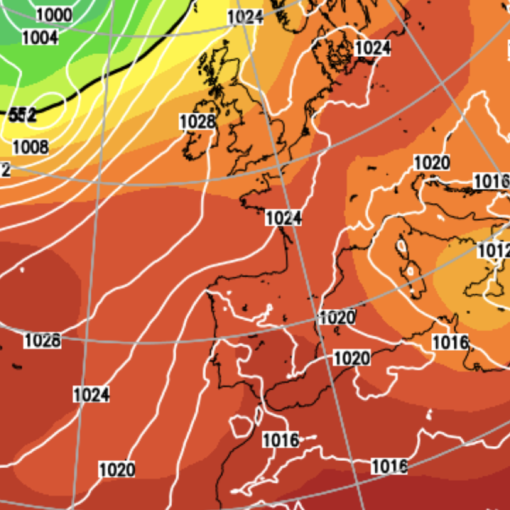
The UK is facing a warmer, wetter and stormier autumn as a strengthening El Niño climate pattern increases the likelihood of unsettled weather later in the season, forecasters have warned.
The Met Office said a warm and wet autumn is around one-and-a-half to two times more likely than would normally be expected, with the risk of heavy rain and strong winds increasing, particularly from November.
The wetter conditions could provide some relief to parts of the country still suffering from drought, although forecasters warned that a rapid shift from dry to wet weather could also increase the risk of flooding.
El Niño, which occurs when sea-surface temperatures in the tropical Pacific become unusually warm, is continuing to strengthen and is expected to peak in November or December – and could become one of the strongest on record.
Ian Lisk, chief meteorologist at the Met Office, said the latest forecasts were consistent with the historical influence of El Niño events.
“The latest seasonal forecasts suggest an increased likelihood of wetter than average conditions as we move through autumn,” he said.
However, Mr Lisk stressed that El Niño was only one of several factors influencing the UK’s weather, and that a particularly strong event did not necessarily mean the UK would experience more severe conditions.
“We will continue to monitor developments closely and update our forecasts as confidence in the outlook evolves,” he said.
The prospect of heavier rain comes as drought continues to affect much of England.
The Environment Agency’s National Drought Group recently warned that almost three-quarters of England remains in drought, despite recent downpours, with some reservoirs still at critically low levels.
Helen Wakeham, the agency’s director of water, said drought recovery was “a very long process”, with drought only considered over once reservoirs, rivers and groundwater supplies have returned to normal levels.
LATEST DEVELOPMENTS
Shabana Mahmood orders police to ban masks and hike surveillance against anti-migration protestersAssisted dying BLOCKED from becoming law after MPs vote against historic billFather of A66 crash teen charged with assaulting mourner at his own son’s funeral
The expected rainfall could therefore help replenish depleted water supplies, but the transition from prolonged dryness to much wetter conditions could create another episode of “weather whiplash” – a rapid swing between weather extremes.
A similar pattern occurred in 2025, when record-breaking summer heat was followed by storms and flooding during autumn.
Temperatures this autumn are also expected to remain above average, following on from the hottest UK summer on record, with five distinct heatwave periods.
The landmark summer saw a period of 40 days when temperatures exceeded 30C.
Climate change is contributing to the warmer outlook, while unusually high sea-surface temperatures around the UK are expected to provide an additional influence.
Marine heatwaves following the summer’s extreme temperatures have pushed local sea temperatures up to 5C above normal, and warmer surrounding seas can help keep land temperatures higher.
The influence of El Niño could extend into winter, when it can increase the chance of cold and snowy conditions in north-west Europe.
However, the UK’s position on the Atlantic makes such outcomes difficult to predict.
Historical records show that, among strong El Niño winters since 1900, only 1982/83 produced widespread disruptive snow in the UK.
Forecasters say it remains too early to determine whether the coming winter will be especially cold or snowy.
Our Standards:
The GB News Editorial Charter