The Met Office has issued an amber weather warning to Britons as Storm Austen prepares to batter Britain.
Meteorologists have warned of disruption and “possible damaging winds” this week, with the worst of the storm hitting on Friday.
The South West of England will be worst affected, with the Met Office warning of a possible “danger to life” with damaged caused by the storm.
Cornwall, Devon, the Isles of Scilly and Plymouth are set to face the worst of Storm Austen with the areas in the peak of the amber alert.
The Met Office’s warning has a high likelihood of significant impact on the affected region, with a prediction of 50-75 per cent.
A spell of very strong northwesterly winds is likely to sweep in on the western coast on Friday morning.
Meteorologists have said there is a good chance that gusts of “60-70 mph” will develop widely for a time, with even some gusts of around 80 mph for exposed headlands.
Britons have been told to expect “longer journey times and cancellations” as road, rail, air and ferry services may be affected.
Some roads and bridges are likely to be closed as a result of the stormy conditions.
In its most severe case, the Met Office predict flying debris is “likely and could lead to injuries or danger to life”.
They also warn of damage to buildings, such as tiles blown from roofs.
In some areas, Storm Austen could also create a good chance of power cuts, with the potential to affect other services such as mobile phone coverage.
LATEST DEVELOPMENTS
At least four people dead and thousands evacuated as torrential rainfall and flooding batter SpainBritons set for stunning night of stargazing with Orionid meteor shower to fly over UK skiesUK weather: First named storm of the season to hit Britain in just days bringing with it 70mph
Injuries and danger to life are likely from large waves and beach material being thrown onto coastal roads, sea fronts and properties.
The Met Office urged those within the amber warning zone to “stay indoors as much as possible”, but if you do need to go out, try not to “walk or shelter close to buildings and trees”.
Those in coastal areas are reminded that even from the shore, large breaking waves can sweep you off your feet and out to sea.
They stress residents should “take care if walking near cliffs, know your route and keep dogs on a lead”.
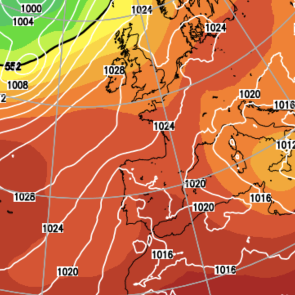
Most weather models suggest the system will track across southern England, putting southern England and Wales at the greatest risk of disruptive gusts.
Some eastern coastal counties could potentially be affected later on Friday.
However, other models indicate the storm could take a more northerly route.
This could bring disruptive gales over a much larger area, including Scotland and Northern Ireland.
Our Standards:
The GB News Editorial Charter