Britain is set to be battered by the season’s first named storm, with Storm Austen to bring winds of up to 70mph and potentially disruptive weather in just days.
The Met Office has issued a yellow weather warning for wind across parts of south-west England and Wales, which will take effect at midnight and remain in place until noon on Friday.
Gusts of 50-60mph are expected across affected areas, while more exposed locations could experience winds reaching 70mph.
Forecasters have warned of possible travel disruption, building damage and a small risk of power cuts as the storm moves across the country.
Alongside strong winds, with the potential for severe gales, the system is also expected to bring heavy rain.
Friday’s warning impacts four regions across the UK.
South West England, including Bath and North East Somerset, Bournemouth, Christchurch and Poole, Bristol, Cornwall, Devon, Dorset, Gloucestershire, Isles of Scilly, North Somerset, Plymouth, Somerset, South Gloucestershire, Torbay and Wiltshire.
In London and South East England, Brighton and Hove, East Sussex, Hampshire, Isle of Wight, Portsmouth, Southampton and West Sussex could be affected.
Blaenau Gwent, Bridgend, Caerphilly, Cardiff, Carmarthenshire, Ceredigion, Merthyr Tydfil, Monmouthshire, Neath Port Talbot, Newport, Pembrokeshire, Powys, Rhondda Cynon Taf, Swansea, Torfaen and Vale of Glamorgan may be impacted in Wales.
Herefordshire in the West Midlands has also been issued the weather warning.
Advising members of the public affected by the strong gusts, the Met Office said: “Prepare to protect your property and people from injury. Check for loose items outside your home and plan how you could secure them.
“Items include: bins, garden furniture, trampolines, tents, sheds, and fences.
LATEST DEVELOPMENTS:
Met Office issues yellow weather warning as Britons brace for strong winds that could damage buildingsThree children rushed to hospital as school bus crashes into railway bridge in WalesMan charged over ‘targeted attack’ on Australian MP struck by car outside office
“Give yourself the best chance of avoiding delays by checking road conditions if driving, or bus and train timetables, amending your travel plans if necessary.
“People cope better with power cuts when they have prepared for them in advance. It’s easy to do; consider gathering torches and batteries, a mobile phone power pack and other essential items.
“If you are on the coast, stay safe during stormy weather by being aware of large waves. Even from the shore large breaking waves can sweep you off your feet and out to sea.
“Take care if walking near cliffs; know your route and keep dogs on a lead.”
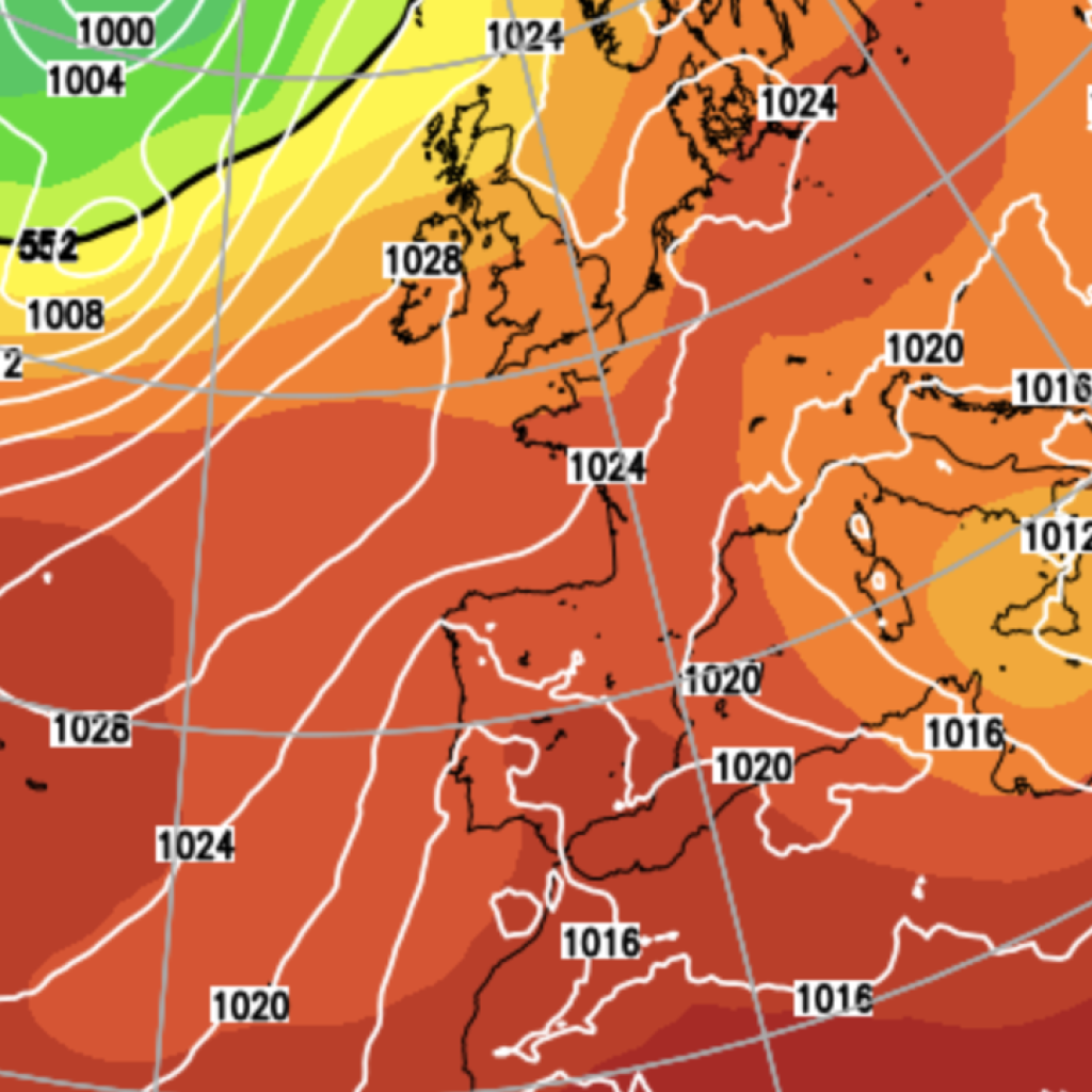
Forecasters warn that uncertainty remains about the exact path of the deep low-pressure area, which will determine where the strongest winds will be felt.
Most computer models suggest the system will track across southern England, putting southern England and Wales at the greatest risk of disruptive gusts.
Some eastern coastal counties could potentially be affected later on Friday.
However, other models indicate the low could take a more northerly route.
This could bring disruptive gales over a much larger area, including Scotland and Northern Ireland.
Our Standards:
The GB News Editorial Charter